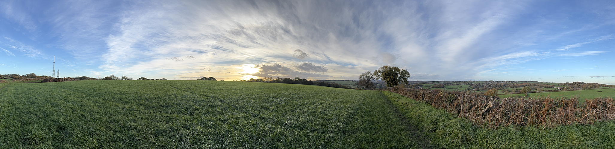
A collection of potential hill rep sessions that could feature on a Tuesday or Thursday evening, preferably followed by some sociable rehydration.
Hill stats include a map and profile image, GPX file, distance and elevation stats in miles and metres.
All images can be clicked to enlarge them.
Where the distance is short – just one rep or session is featured but is designed to be repeated until time’s up or you’ve had enough!
The Beasties of Blackamoor

Start / Finish - Totley AC Pavilion
Distance - 7.8 miles
Ascent - 2362 metres
Uphill sections - 2.5 miles
Downhill sections - 2.5 miles
Flat / or very gradual sections - 2.8 miles
Nearby pub - The Cricket Inn, The Crown
Evening session - Pick 4 or 5 of the total 6 hill options. A weekend day might be better for the full session.

1. This one is easily missed - look out for a small gap in the wall. The narrow path starts steeply.
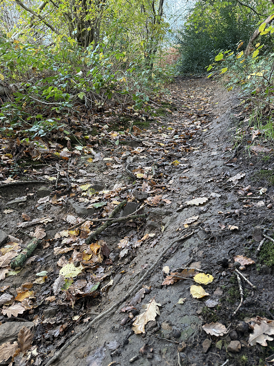
2. The entire hill is narrow with twists and turns. It levels in places with a further steep section towards the end.
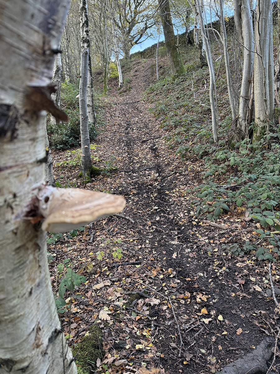
3. Under foot can be tricky, with many tree routes.
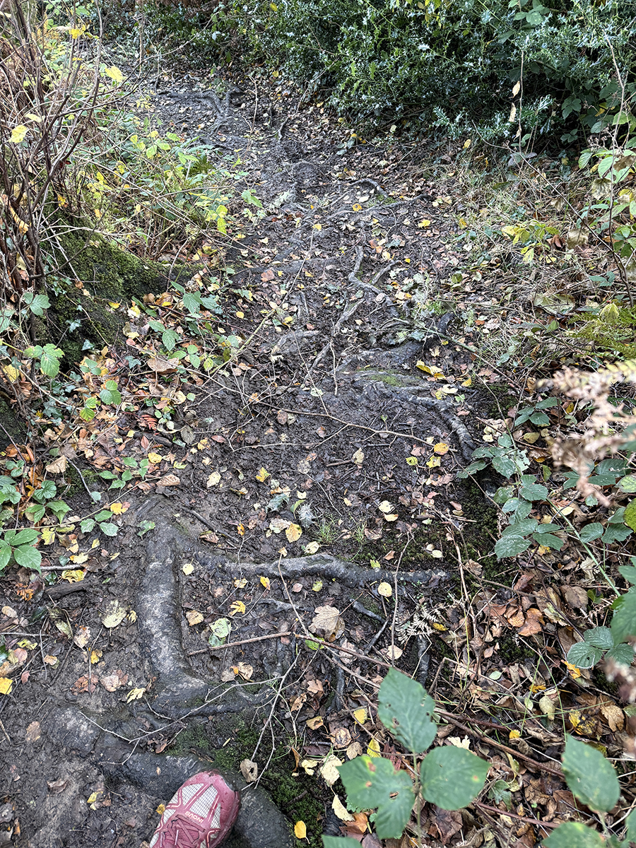
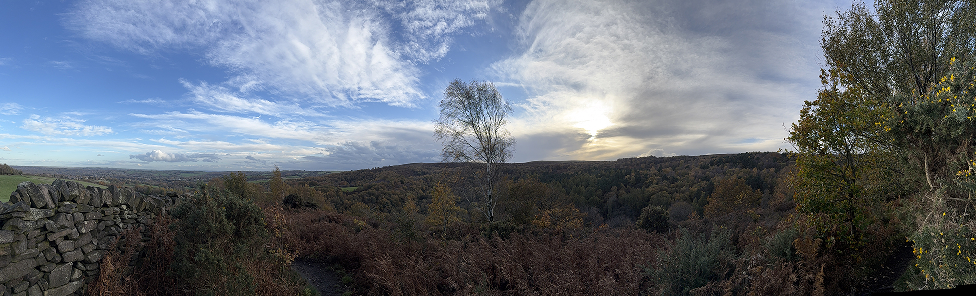
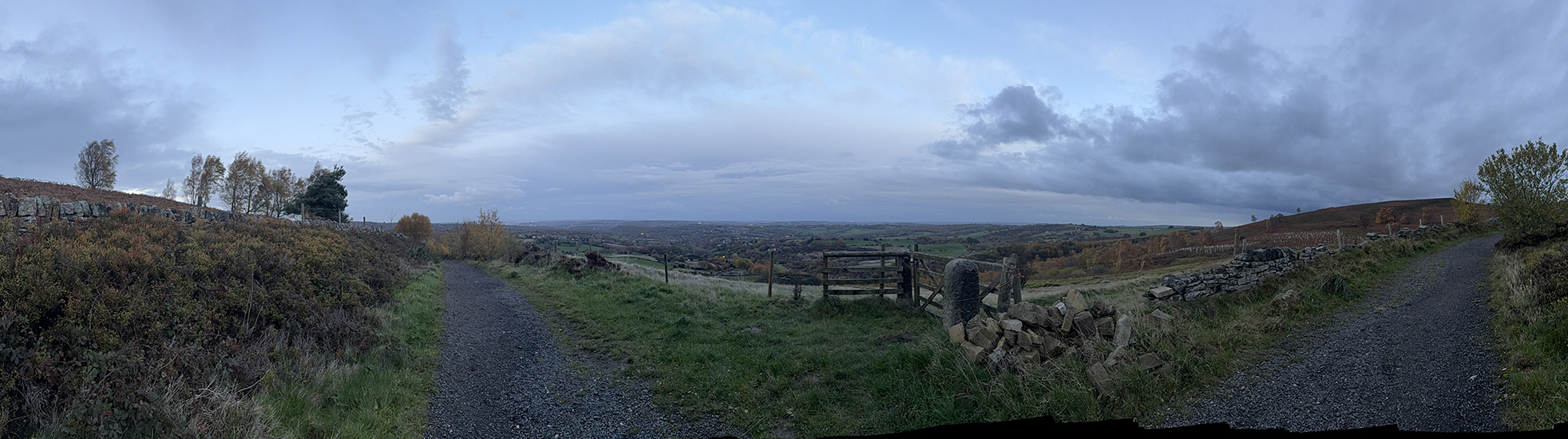
4. You suddenly emerge from the trees to reach the summit which offers a great view on a clear day.
1. A gradual start on a wide and well maintained path.

2. Very rocky providing many steep steps.
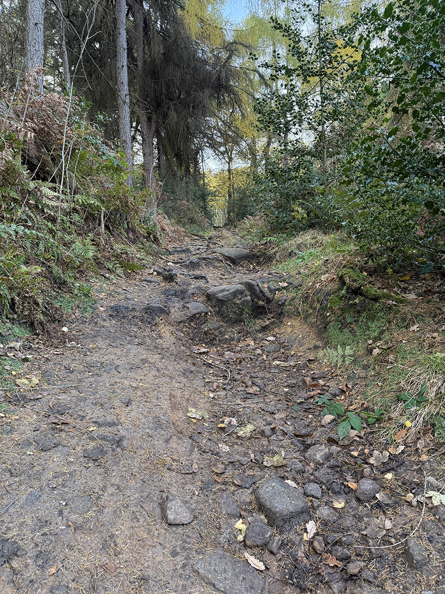
3. Past the bridleway junction, the hill finishes steeply with more big steps.
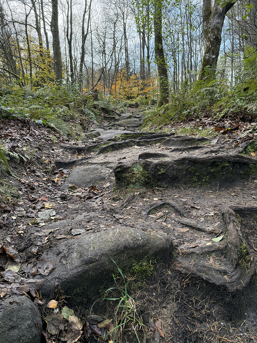
6. Push all the way to the gate, to benefit from this rep
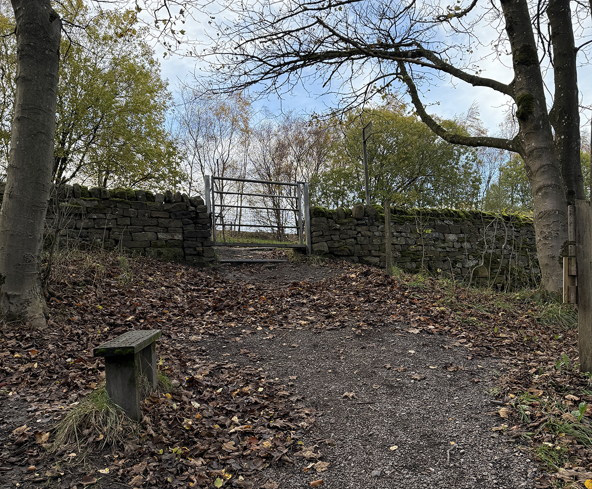
1. Another gradual start for the biggest hill in this collection.

2. The incline eventually increases, with large steps.
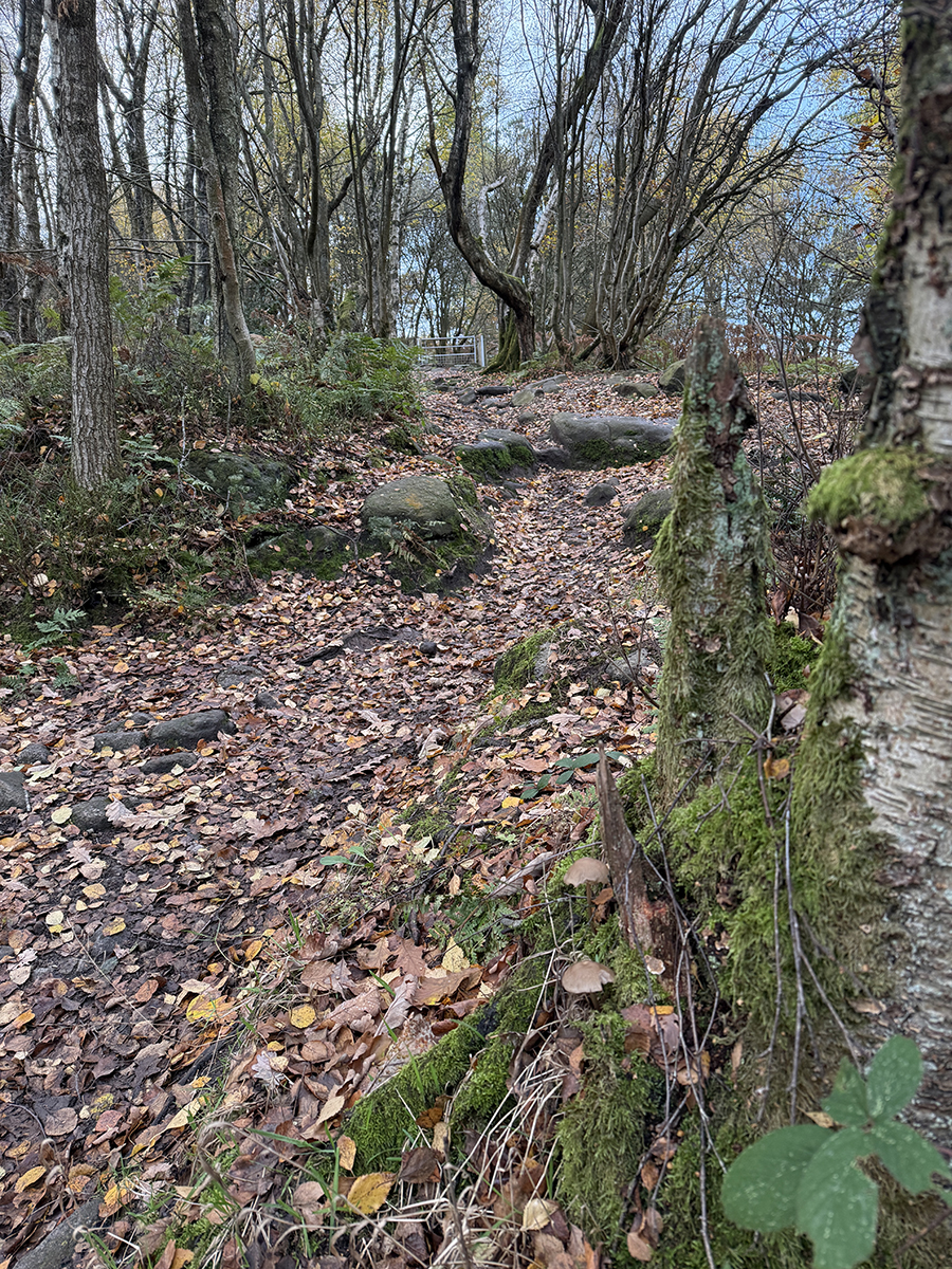
3. The steepness after the gate brings you out in the open for a gradual finish.
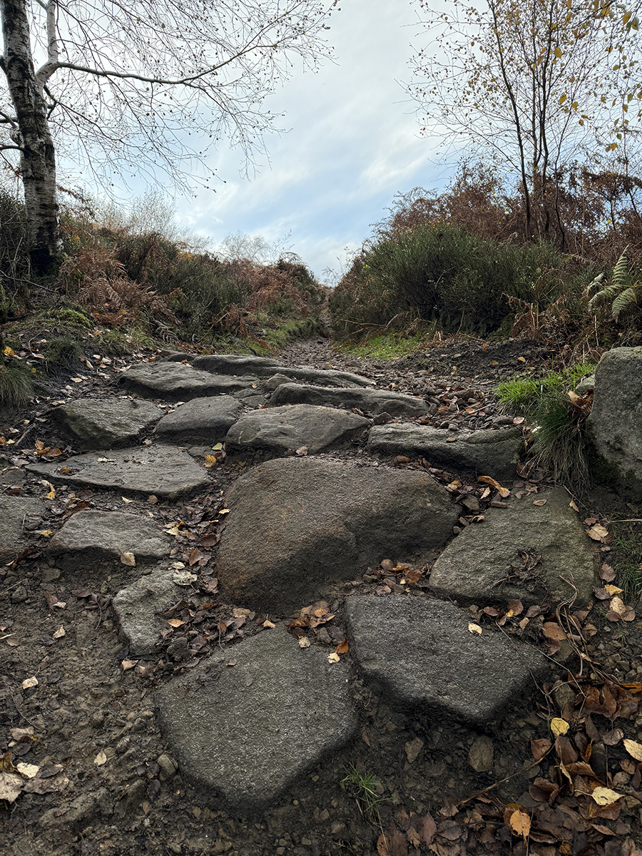
6. Again, push all the way to the gate to benefit from The Stag

1. Not a gradual start. I'm surprised this climb is less than The Stag.
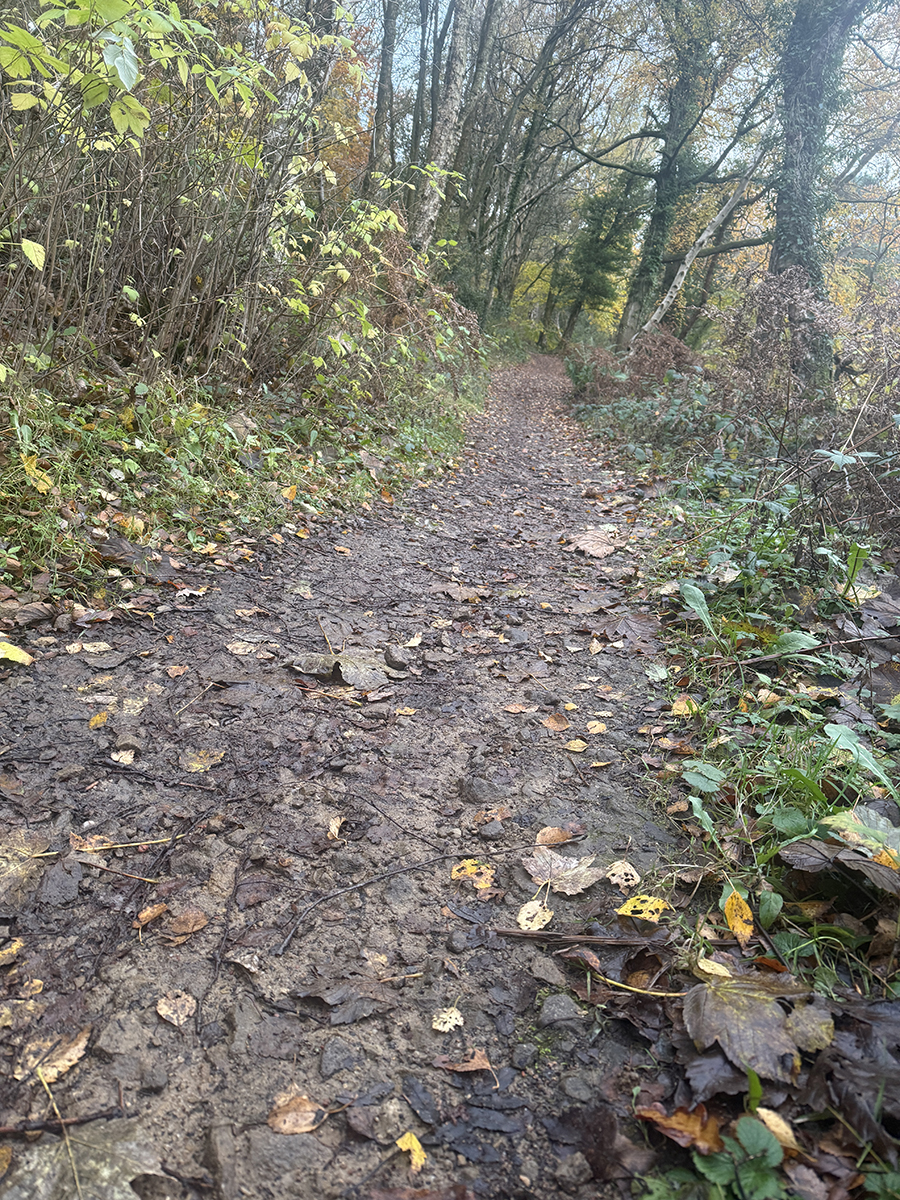
2. It remains steep to the 2nd bench, where some could take a rest.
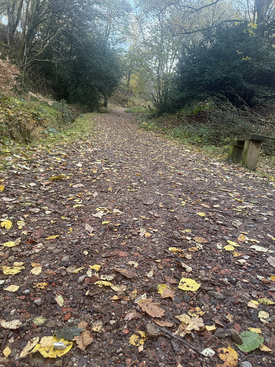
3. The committed who push on face a reduced incline but rocky finish.
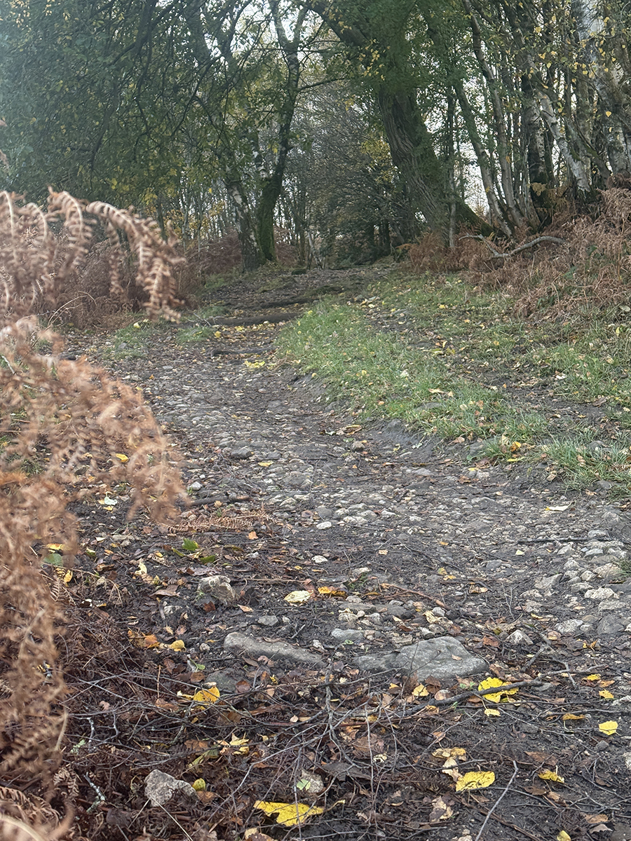
6. Complete the rep at the seven sycamores.
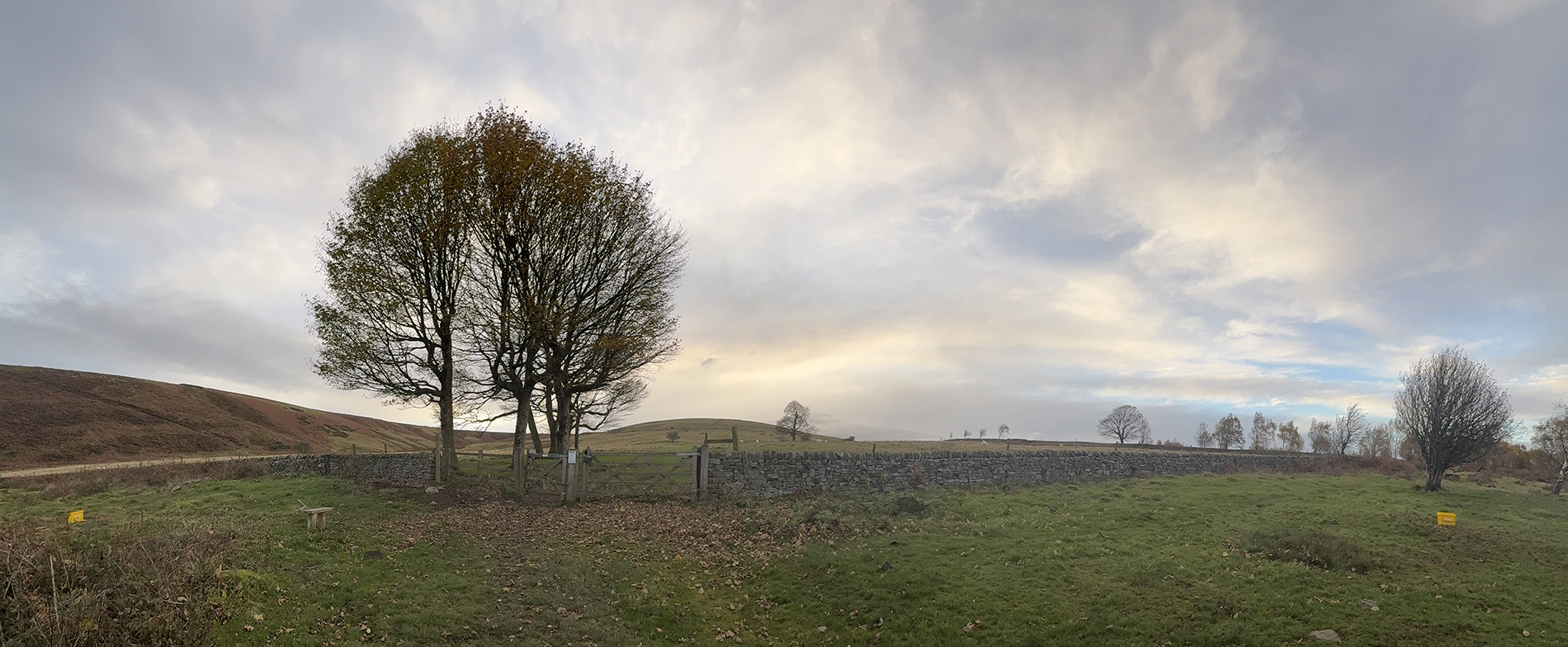
1. This one is a little hidden too. Turn right just before exiting Blackamoor onto Strawberry Lee Lane carpark.
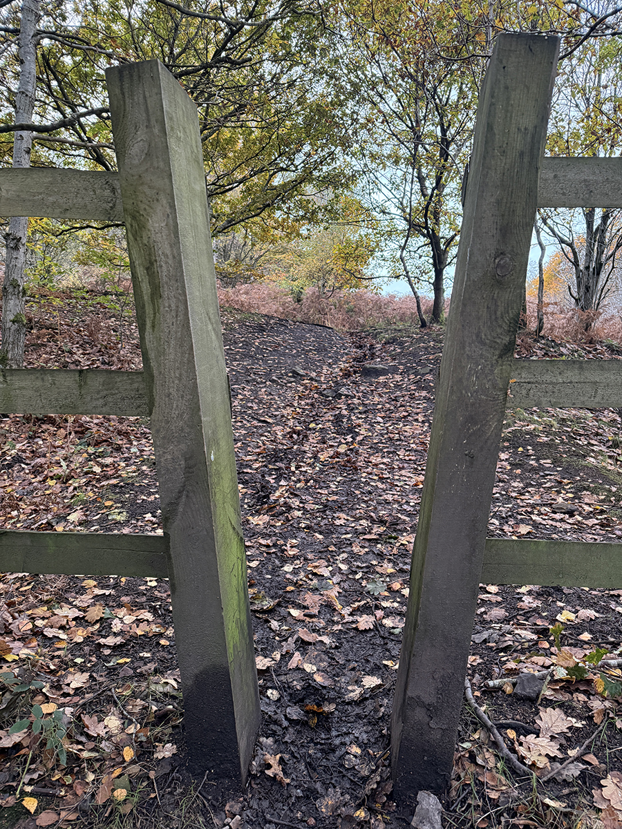
2. The degree of incline on this hill varies as it winds up ...
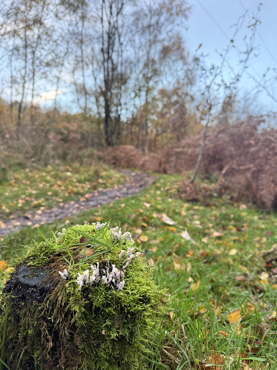
3. and out of the trees.
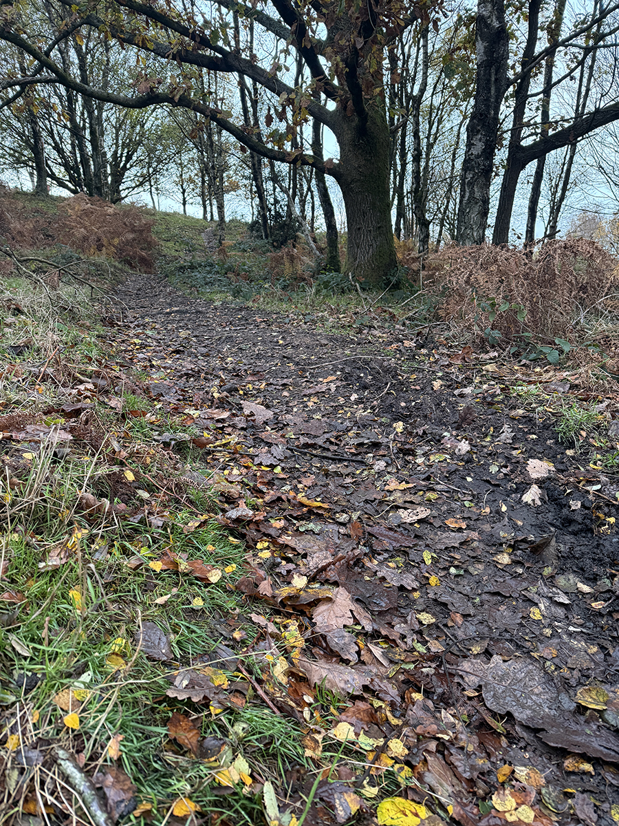
6. The incline becomes subtle before the end but pushing to the stones provides a rewarding view.
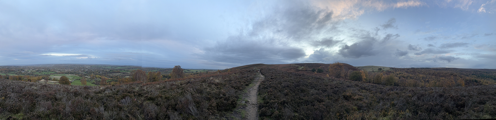
1. If your quads haven't had their fill, there's one final short climb
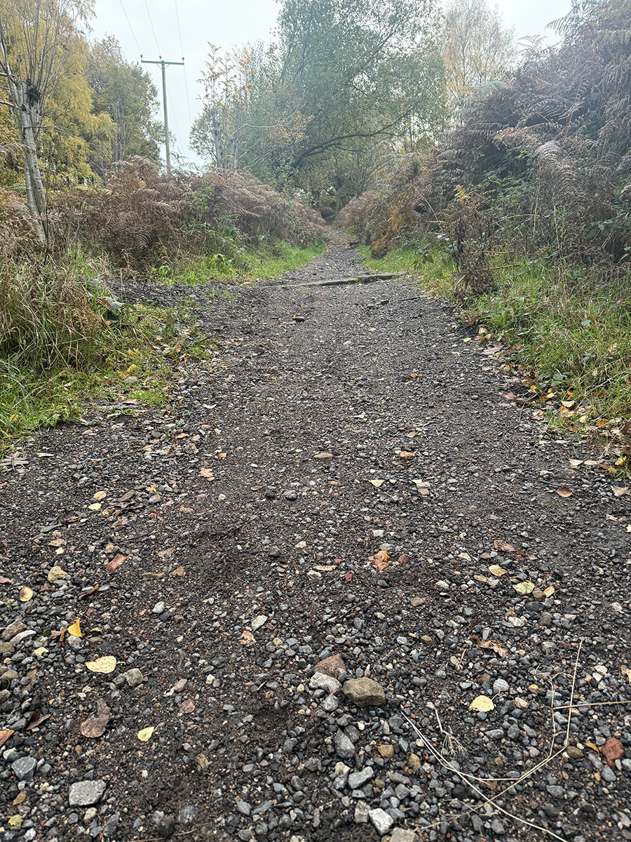
2. The incline is consistent most of the way up ...
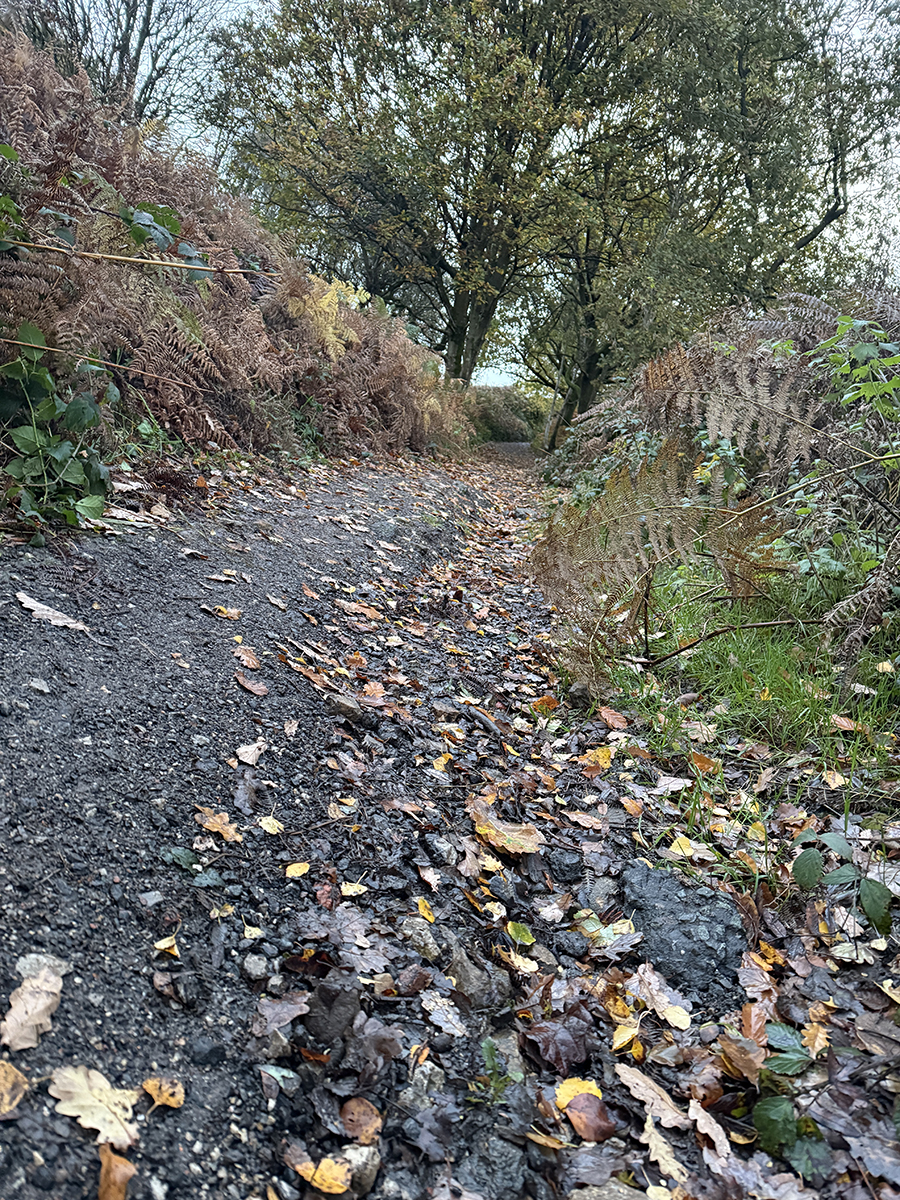
3. steep!

6. Its best to finish at the top of the horse field providing multiple options for returning to the Pavilion.
Graves Grinder
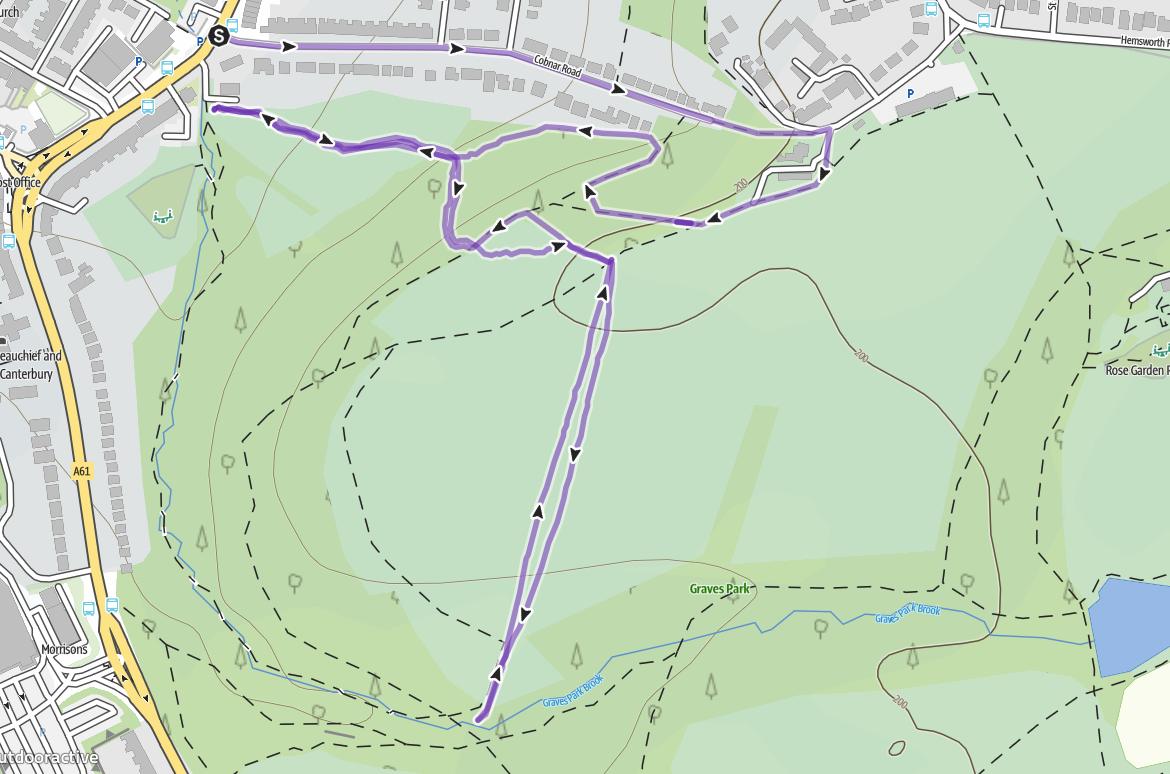
Start / Finish - Bottom of Cobnar Road, Woodseats
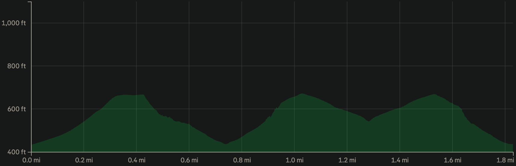
Distance - 1.9 miles
Ascent - 185 metres
Uphill sections - 1126 metres
Downhill sections - 1126 metres
Flat / or very gradual sections - 854 metres
Nearby pub - Guzzle Micro pub
I was interested to record a rep of Cobnar Road, convinced that Rep 2 (mine and Alex Alexander's creation) was better.
To my surprise, I somehow enjoyed the Cobnar Road rep so it's formed the start of this session. It was a Sunday afternoon and the road wasn't busy. I'd forgotten that with reps on tarmac, you can focus on your posture, style and inflict maximum torture to your quads. There's no slipping on roots, rocks or muddy ground, thinking about foot placement or ducking a branch. It's just about brut force.
What I can't do is descend on road so this is where the session leaves it behind.
1. From the top of Cobnar Road, you can cut right into Graves Park. Locals all use this route. Turn right and follow the path that descends into the trees.
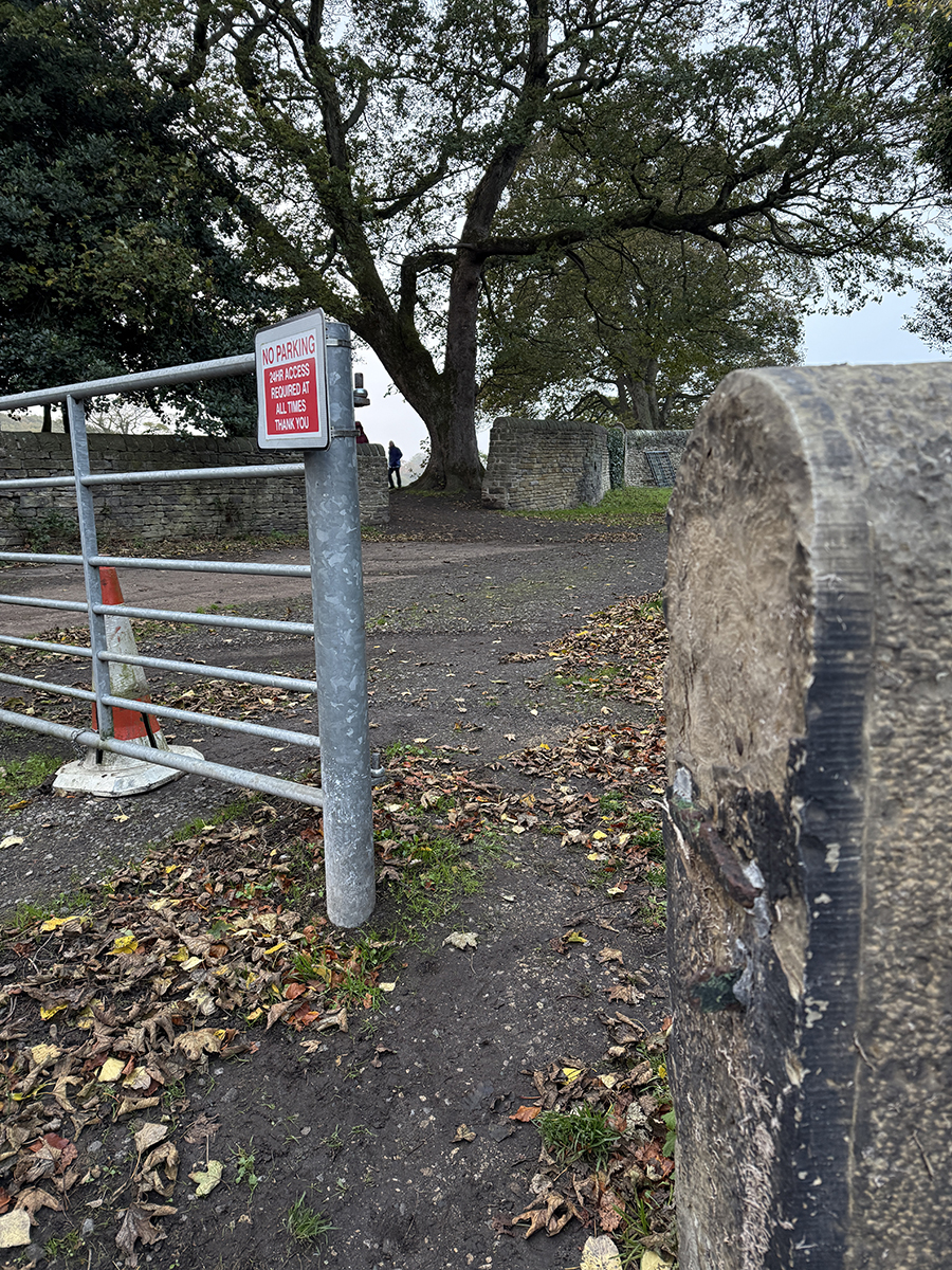
2. I descend off-piste to the right here, but you can also follow the path down further and switch back. After switching back look out for a trod dropping to the left.
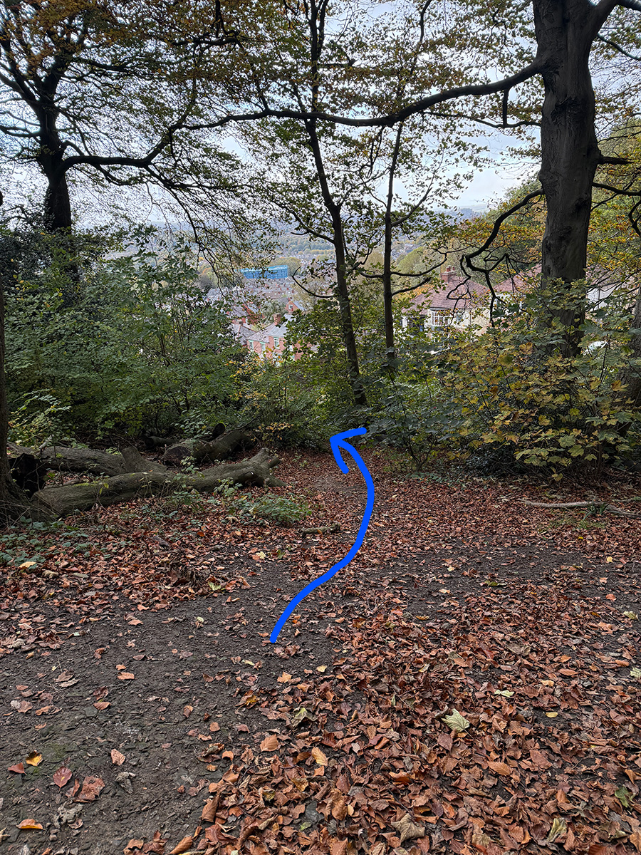
3. The trod runs just behind some Cobnar Road houses, gradually descending.

4. It will end at the top of Graves Park Ski slope. Descend this grassy bank to begin Rep 2.
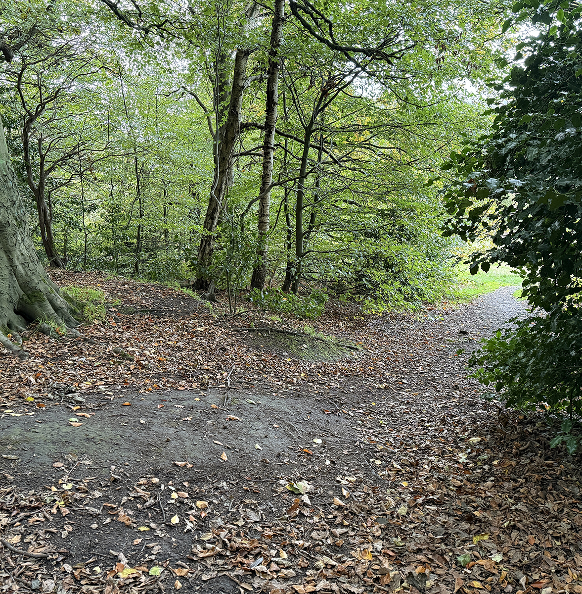
1. Retrace your steps back up to the trees. It's a gradual start with multiple lines to choose from.
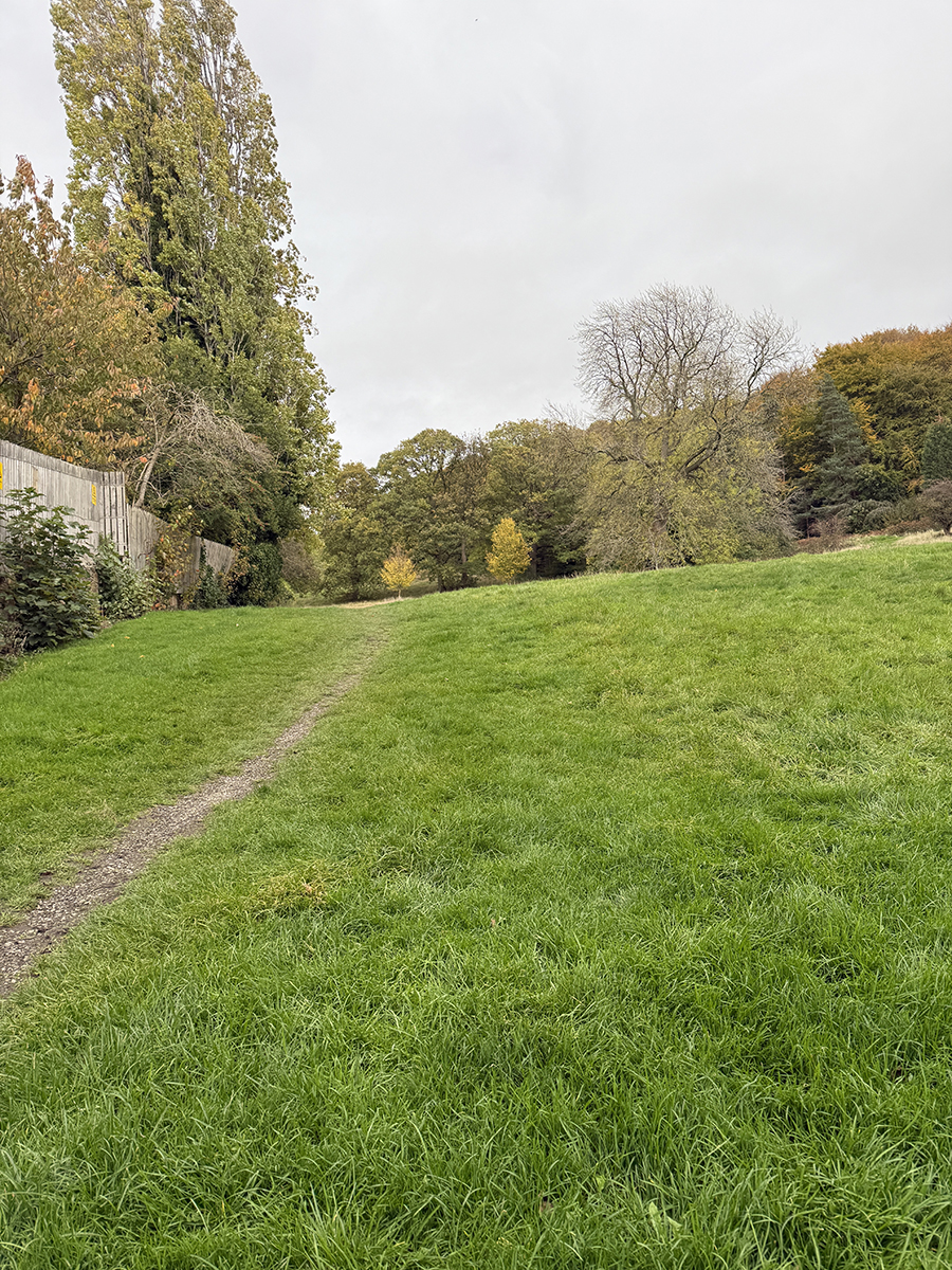
2. Aim for the top right corner of this field where a path enters the woods
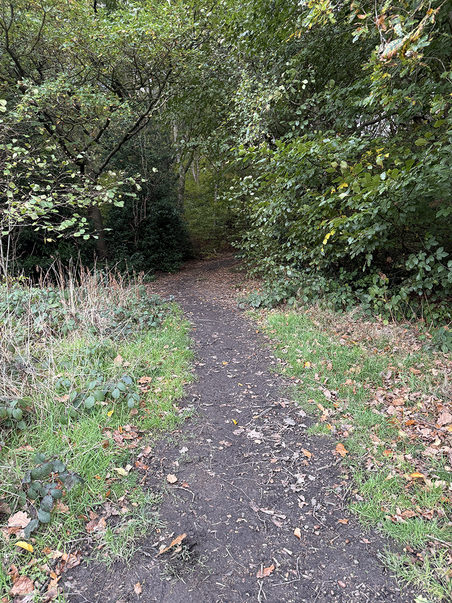
3. Don't follow the path to the left. Instead, turn right to keep climbing. It gets steeper now!

4. The gap between the holy and young beach is much more spacious than this image suggests. It's not just for 5 footers!
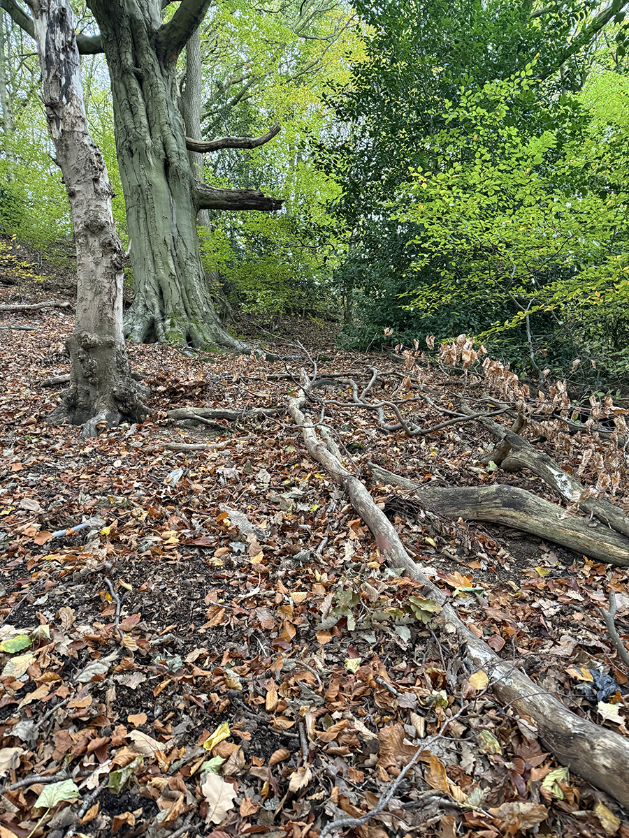
5. There are a couple of line choices through the final step section. I zig zag up to the main path.
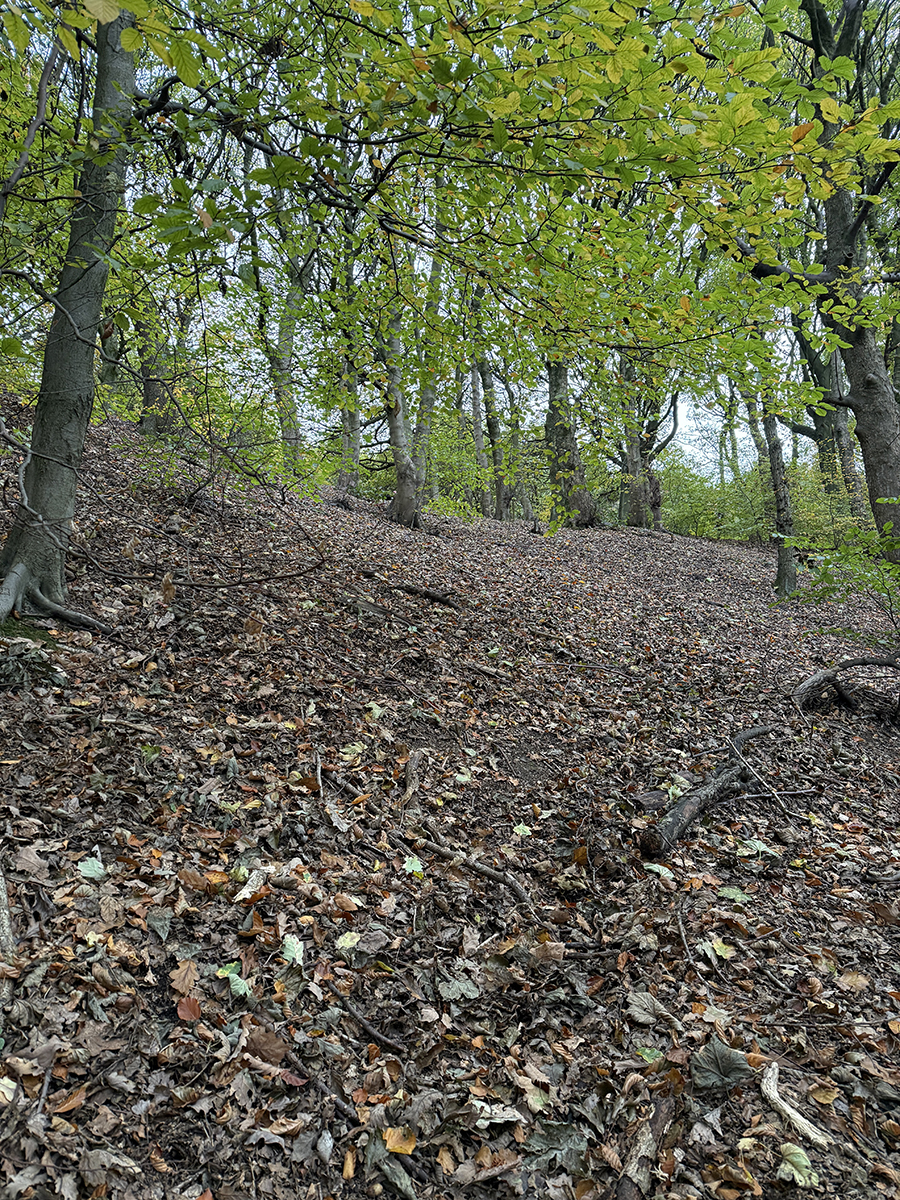
6. Cross the main path and up the bank on the other side.
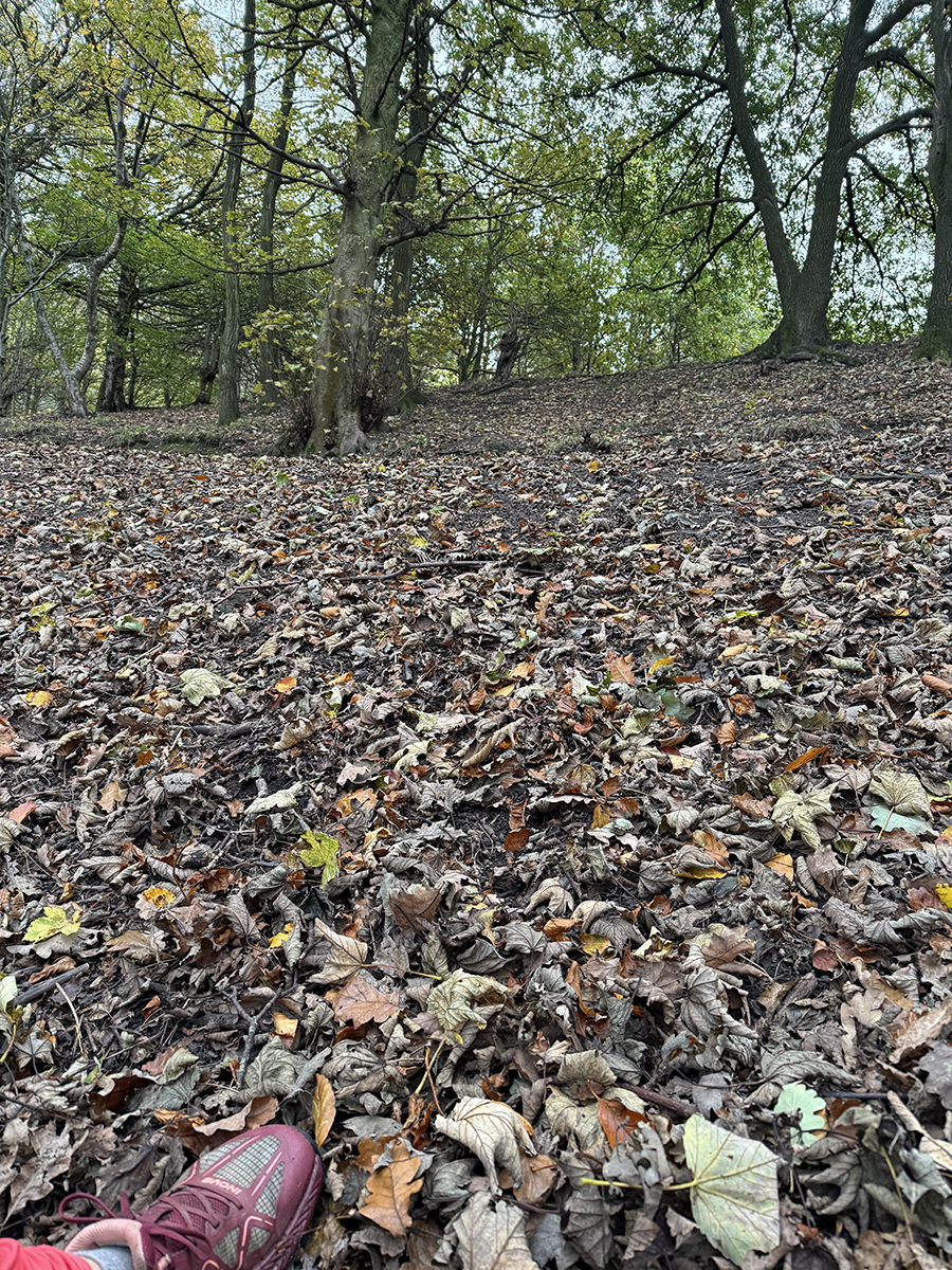
4. Aim for the bench at the summit. There are route choices through the trees here, keeping it interesting.

5. A clear day provides a rewarding view out to the Peaks, with a bench to collapse on and enjoy it.

If an entire session of these reps feels too much, it can be nice to break it up with a slope rep.
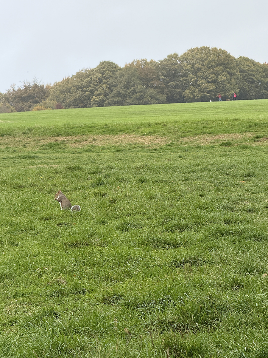
This rep starts and finishes from the same bench with a view. It's easy, grassy and out of the trees.
Descend from the bench, towards the skyline.

Finish down a small path to the lowest point.

1. Start the rep.
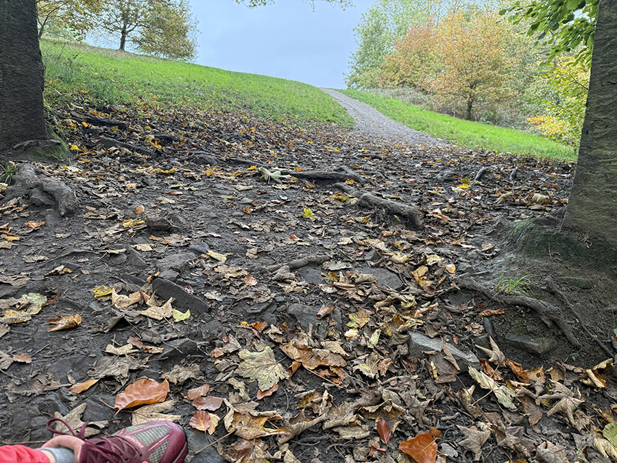
2.
3.

Undulate in Unstone
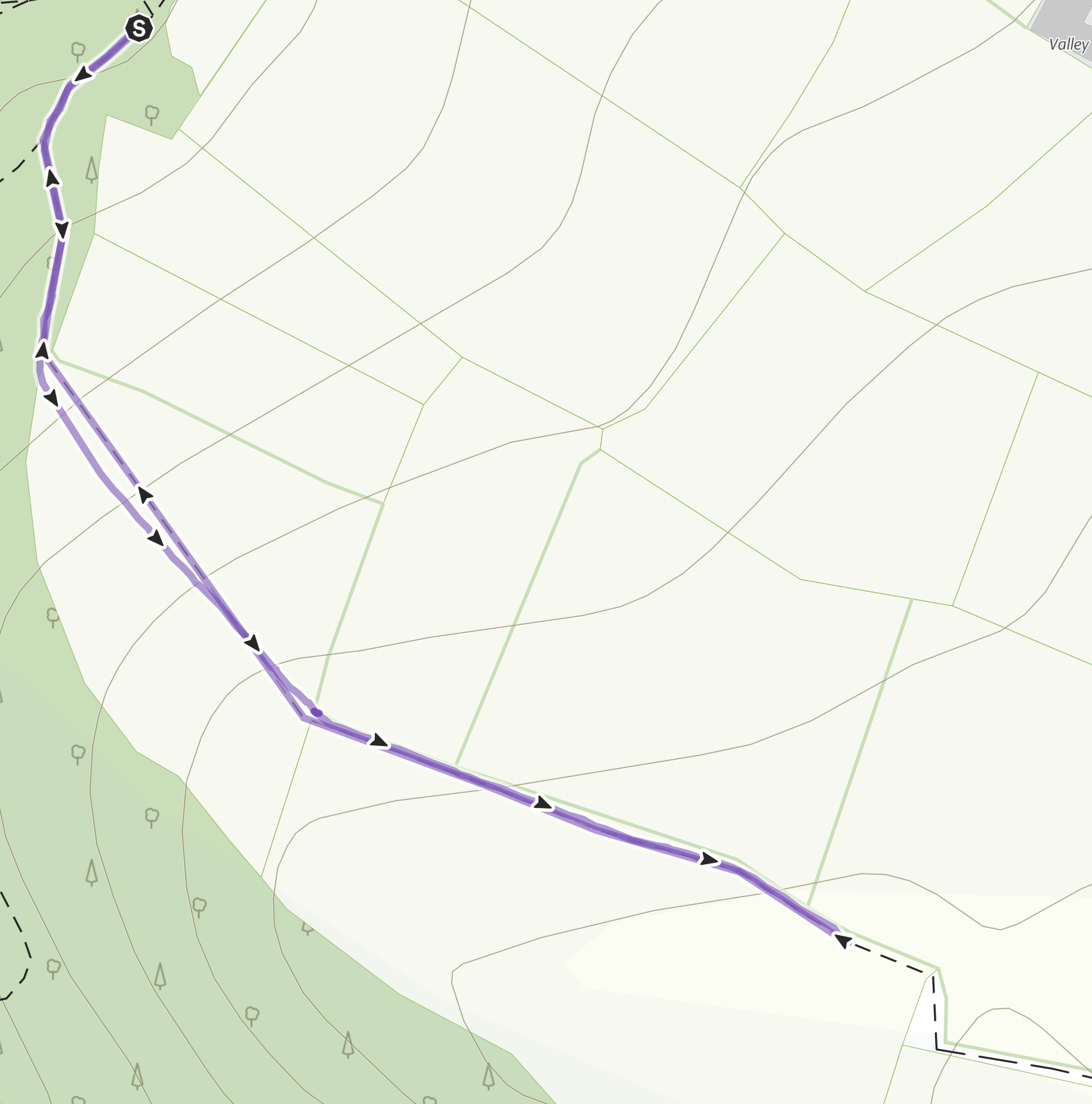
Start / Finish - TBC, Unstone
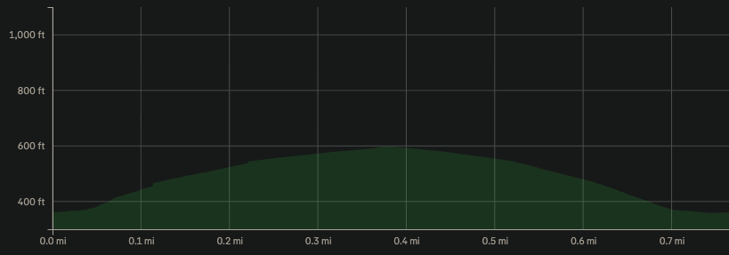
Distance - 1126.54 metres
Ascent - 75 metres
Uphill sections - 307 metres
Downhill sections - 307 metres
Flat / or very gradual sections - 423 metres
Nearby pub - Miners Arms, The Travellers Rest (great beer and cider selection), Drone Valley Brewery (currently not open on Tues / Thurs)
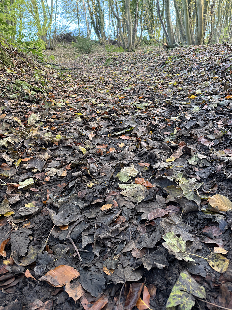
1. For an off-road rep starting in the trees, this one is very easy underfoot.

2. There's combination of tarmac simplicity with beautiful woods, fields and soft ground.
3.
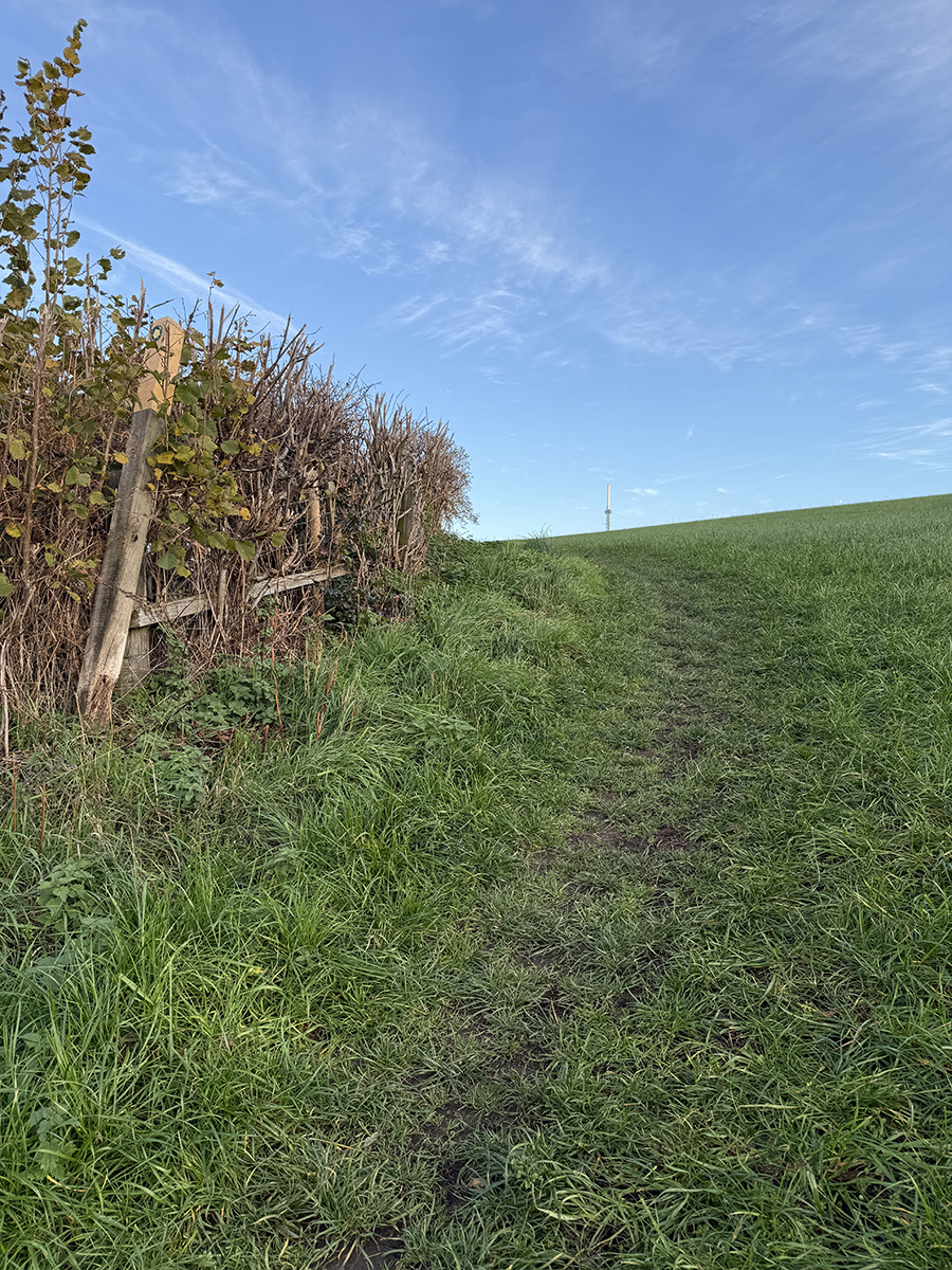
4. Not too shabby a view from the summit , just needs a bench.